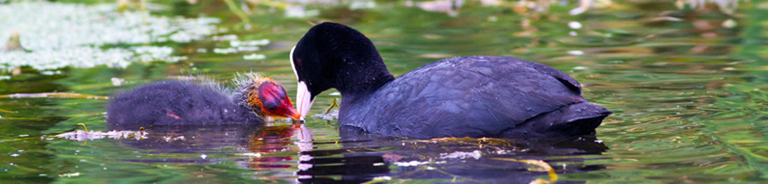
Foudry Brook
 The Foudry Brook rises on the heathland east of Tadley and flows north-east through Mortimer, Wokefield and under the M4 before joining the River Kennet below Fobney.
It is joined by the Silchester Brook just south of Mortimer and the Clayhill Brook east of Burghfield. In its lower reaches, below the M4, it has been modified by straightening and dredging as it flows through the industrial area of south Reading. It receives the outfall from the Sewage Treatment Works at Reading which reduces water quality. The invasive plant species floating pennywort is a particular problem in the lower reaches.
Its waterbody status is poor due to sewage discharge, barriers to fish passage and urban development.
Actions completed:
- There has been a fish easement at Stratfield Mortimer.
- Around Brook Farm there is a nice stretch of river which has a good gravel bed and pool-riffle sequences present.
Actions required:
- At Grazeley at walkover is required to identify if there is an apparent section of habitat we can enhance to link with other better quality sections that are already present.
- Reading and District Angling Association have been monitoring the growth of pennywort both in the Foudry Brook and the relief channel and have been taking steps to eradicate it.
- Opportunities to restore the physical habitat are limited due to the highly urban nature of the channel and the fact that it runs along the A33 for much of its length. Any enhancements to the main channel will require discussions with the landowners, which should be pursued if the opportunity arises.
The Foudry Brook is one of the most poorly performing rivers in the Kennet catchment. At just 12 km long it is a small but important stream. It is joined by the Silchester Brook just south of Mortimer and the Clayhill Brook east of Burghfield. In its lower reaches, below the M4, it has been straightened and dredged as it flows through the industrial area of south Reading. It receives the outfall from the Sewage Treatment Works at Reading which reduces water quality, as well as several small sewage treatment works upstream that regularly spill untreated sewage. Through the middle reaches the channel is deeply incised and surrounded by arable land with limited river corridor buffers. The invasive plant species floating pennywort is a particular problem in the lower reaches.
Its waterbody status (2019) is poor, due to the ecological barriers to fish migration created by agriculture, rural land management, urbanisation and transport. Moreover sewage discharge negatively impacts macrophyte and phytobenthos populations and has resulted in poor phosphate levels. The presence of Perfluorooctane sulphonate (PFOS), Polybrominated diphenyl ethers (PBDE) and Benzo(g-h-i)perylene caused the Brook to fail its chemical assessment in 2019.
In 2016 ARK completed work to improve fish passage and reduce sediment pollution in Stratfield Mortimer
In 2022/3 KVFA and the Environment Agency completed some small scale habitat restoration on the Brook.
The Sewage Treatment Works on the Foudry Brook frequently spill untreated sewage into this smalll stream. Stratfield Mortimer STW is due to be upgraded by 2025. The Thames Water Storm Discharge map can be found here.
ARK carried out a walkover in 2024, funded by Thames Water, to identify habitat restoration opportunities.
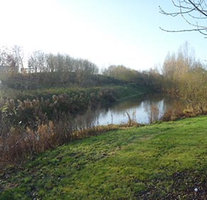
Holy Brook
 The Holy Brook runs for six miles as a channel of the River Kennet, flowing to the north of the main channel from Arrowhead at Theale and then rejoining it in the centre of Reading, just downstream of the Abbey Mill by the prison.
Part of the brook flows underneath Reading town centre before rejoining the Kennet by Reading Abbey. It powered the watermill of Reading Abbey, hence its name of the Holy Brook.
A side stream of the brook runs into the Kennet again at Calcot and also powered the Calcot Water Mill, which was owned by Reading Abbey. Some parts of the channel are natural, whilst other parts were created in medieval times to supply water to water mills and fish ponds. The Holy Brook is part of a network of streams which drain the Kennet Water Meadows, one of the few remaining areas of open countryside close to the centre of Reading. The area is an important, accessible open space, valued for both wildlife and recreation, including walking, fishing and bird watching.
The Holy Brook is recognised as a key spawning habitat for coarse fish, particularly barbel and chub.
Its waterbody status is moderate due to dissolved oxygen.
Actions required:
- Source to weir at Rose Kiln Court: Calcot Mill forms a complete barrier to fish migration and causes a significant impoundment upstream. There is potential to achieve fish passage on at least one of the channels which exit the brook upstream of the mill by installing a technical fish pass and, as one of the structures around the mill is currently failing, there may be an opportunity to do some works in the near future. A walkover of the entire stretch is required to identify enhancement options.
- Reading: restoration is required on this stretch of the brook but is not compatible with the urbanised setting. We rely on planning gains as and when redevelopment takes place to secure enhancement work.
The Holy Brook runs for six miles as a channel of the River Kennet, flowing to the north of the main channel from Arrowhead at Theale and then rejoining it in the centre of Reading, just downstream of the Abbey Mill by the prison.
Part of the brook flows underneath Reading town centre before rejoining the Kennet by Reading Abbey. It powered the watermill of Reading Abbey, hence its name of the Holy Brook.
A side stream of the brook runs into the Kennet again at Calcot and also powered the Calcot Water Mill, which was owned by Reading Abbey. Some parts of the channel are natural, whilst other parts were created in medieval times to supply water to water mills and fish ponds. The Holy Brook is part of a network of streams which drain the Kennet Water Meadows, one of the few remaining areas of open countryside close to the centre of Reading. The area is an important, accessible open space, valued for both wildlife and recreation, including walking, fishing and bird watching.
The Holy Brook is recognised as a key spawning habitat for coarse fish, particularly barbel and chub.
Its waterbody status (2022) is moderate due to low dissolved oxygen levels caused by physical modification, moderate macrophytes and phytobenthos growth and the presence of Polybrominated diphenyl ethers (PBDE).
Actions required:
- Source to weir at Rose Kiln Court: Calcot Mill forms a complete barrier to fish migration and causes a significant impoundment upstream. There is potential to achieve fish passage on at least one of the channels which exit the brook upstream of the mill by installing a technical fish pass.
- A walkover by ARK and the Wild Trout Trust in 2023 identified actions that could improve parts of the Holy Brook. These require landowner permission which to date it has not been possible to secure.
- Reading: restoration is required on this stretch of the brook but is not compatible with the urbanised setting. The Environment Agency strategy is to rely on planning gains as and when redevelopment takes place to secure enhancement work.
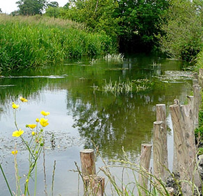
Burghclere Brook, Kingsclere Brook & Baughurst Brook
These brooks are southern tributaries of the River Enbourne. All except the Baughurst Brook rise on chalk, and all are important fish spawning streams. The Kingsclere Brook supports a small population of wild brown trout.
The waterbody status of Burghclere Brook (2022) is poor due to the negative effects of land drainage on Macrophyte and Phytobenthos populations and drought on dissolved oxygen levels. The waterbody status of Kingsclere Brook is moderate due to sewage discharge negatively impacting phosphate levels, the negative effect of groundwater abstraction on the hydrological regime and the presence of Benzo(g-h-i)perylene. The waterbody status of Baughurst Brook is moderate due to drought, sewage discharge and groundwater abstraction, although dissolved oxygen levels have improved since 2016. Polybrominated diphenyl ethers (PBDE) were detected in all three of the brooks, causing them to fail their chemical assessment.
Actions required:
Burghclere Brook
This channel is probably quite shaded and tree works may be an enhancement option. A walkover is required to establish if this is appropriate enhancement work considering this is a naturally woody stream, and to identify other enhancement options.
Kingsclere Brook
A walkover is required to determine if fish passage is possible and if there is any benefit to removing the structures on this reach. A low flow study carried out by consultants for Southern Water as part of their WINEP commitment during 2023/4 is likely to propose habitat restoration options for delivery between 2025-20230.
Baughurst Brook
This reach would benefit from some in-channel enhancements, such as large woody debris. A walkover is required to determine other enhancement options, but tree works to reduce shading are a possibility.
Ecchinswell Brook
Ecchinswell Brook flows into the River Enbourne. It is a significant stream, rising on chalk, and is accessible by public footpath. Ecchinswell is thought to have got its name from the Latin Eikena meaning ‘oak’, with the village and brook meaning ‘well by the oaks’. Its waterbody status (2019) is moderate due to poor nutrient and livestock management having negative effects on plant populations, phosphate and dissolved oxygen levels. The brook failed it chemical assessment due to the presence of Polybrominated diphenyl ethers (PBDE).
Actions required:
- The fluvial audit recommends that maintenance within the high sensitivity reaches should be minimal, focusing on riparian woodland management. The moderate/low sensitivity reaches offer opportunities for enhancement, continued low maintenance/restoring/planting of riparian trees and the re-creation of meanders.
- At Kisby’s Farm, on the lower half of the reach, the channel is dammed to form an artificial lake and this affects the nature of the channel up- and downstream; the RCS recommends removing the weir/dam and reinstating the original channel structure.
- A walkover is required to confirm the fluvial audit and RCS recommendations. Small-scale works, such as large woody debris and ‘roughening up’ the channel, will possibly be the most beneficial enhancements to make here.
Clayhill Brook
Clayhill Brook flows into the River Kennet. The brook rises at Benham’s Gulley in the far West of Burghfield Common and runs through the Northern edge of the village. The brook, running to the North East, passes through woodland, Omer’s Gully, at the edge of the village. At the eastern end of Omer’s Gulley, and to the North Eastern End of Burghfield Common, the brook is forded at Ash Lane. It continues North to Northeast towards Burghfield Village, along this course of the stream is a sewage treatment works which serves the local communities. The brook continues northeast under the M4 motorway, running close by to Burghfield Mill, it joins the River Kennet just to the east of Burghfield Mill.
Its waterbody status 2019 is moderate ecological status and fails chemical status, this is due to structures preventing fish migration, sewage discharges at Burghfield sewage treatment works and the presence of Polybrominated diphenyl ethers (PBDE).
25th October 2022- There was a pollution incident at Burghfield sewage treatment works. Blocked bellmouths in the final settlement tanks at Burghfield STW caused elevated ammonia levels in the final effluent, which discharged into Clayhill Brook.
Actions required:
- A walkover is required to determine if fish passage is possible and if there is any benefit to removing the structures on this reach.
- Investigation into the extent of sewage pollution in the brook from the Burghfield sewage treatment works